Darllenwch yn Gymraeg
Walks from Betws-y-Coed village…
You are spoilt for choice for both long and short beautiful walks starting from Betws-y-Coed and nearby.
The Gwydyr Forest is full of trails, old miners’ paths, cycle tracks and long established forest walks which open out to reveal the enchanting lakes of Llyn Elsi, Llyn Parc, Llyn Geirionydd and Llyn Crafnant.
Llyn Elsi (Allow approx 2 hours ) This idyllic mountain lake is hidden amidst the mixed fir and broadleaf woodlands of the Gwydyr Forest and lies high above Betws-y-Coed. Head for the crescent around St Mary’s Church and take the forestry track at the back following the black/white foot way markers which are sporadically placed along the route. The walk climbs steeply through the woods until you reach the lake. If you turn right at the water towards the Ancaster Memorial you are rewarded with wide ranging mountain views of Snowdonia. Walking around the lake offers the opportunity to enjoy the abundant wildlife; in spring watch out for Canadian geese. Please see the link below for a great description of one of the lovely routes up to this beautiful lake.
http://www.mudandroutes.com/llyn-elsi-easy-walk-betws-y-coed/
River Walks (Allow approx 20 mins to 2 hours+) From the bridge follow the boardwalk along the river and through the trees until it terminates in a wooded dell. Here you can choose to return back to the bridge on a lovely short and very pretty stroll suitable for pushchairs, wheelchairs, and those unable to walk far.
Or from the end of the boardwalk you can pick up the track down to the river and walk along it through the meadows. This leads to the Miners’ Bridge where you can cross over the river and return to the village on the A5 pavement. This round trip is approx. 3 miles and uneven in places.
If you prefer a longer amble carry on past the Miners’ Bridge and follow the fence until the path joins the river again. Then the track climbs up through the forest to join the tarmac road. Walk along the road for a few hundred yards and take the first forest track on the left. This leads you the romantic Swallow Falls, especially impressive after rain. If you carry on along this path you will come to the iconic landmark Ty Hyll (Ugly House) where you can enjoy a pot of tea and homemade Welshcakes. Your return to the village can be along the A5 pavement or simply retrace your steps. This round trip is approx 6 miles; steep and uneven in places.
Please see the link below for some more walk descriptions around our beautiful village.
http://www.mudandroutes.com/snowdonia-walks-from-betws-y-coed/
Snowdonia Way
The Snowdonia Way is a newly described 97 mile walking route through North Wales, available in a guidebook from Cicerone Press. It invites walkers to explore the full length of the National Park, from Machynlleth in the South to Conwy in the North, via some if the most famous and dramatic low level trails. Alternative "mountain stages" have also been described, allowing people to reach the peaks. Each day ends at a village where walkers can discover the hospitality of this part of Wales, and experience the best food and drink.
More information is available at www.snowdoniaway.com and via their twitter and facebook pages.
Further afield into Snowdonia
Being the gateway to the National Park, we are but a whisper away from some of the most breathtaking walks in the UK. It’s only 3 miles to Capel Curig where you can take the old stage coach route to Tryfan and over the mountains to Llyn Crafnant & Cowlyd. It’s just 6 miles to Tryfan and Cwm Idwal (or Devils Kitchen) – a place of Special Scientific Interest. And just 6 miles to Pen-y-Pass for the Miners & Pyg Tracks to the summit of Snowdon.
Please see the links below for more detailed walking and information about the area.
www.walkupsnowdon.co.uk
www.visitsnowdonia.info
Always use appropriate clothing and kit, and plan for rapidly changing weather conditions. Ordnance Survey maps of 1:25,000 should be taken; maps and books can be purchased at the Tourist Information Centre in the village or ask your accommodation provider.
View of our photo gallery
-
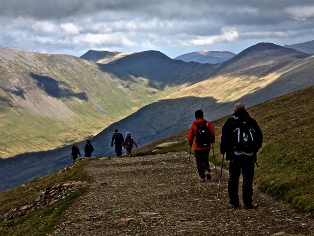 Walking in Snowdonia
-
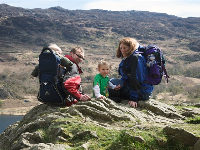 Family friendly walking
-
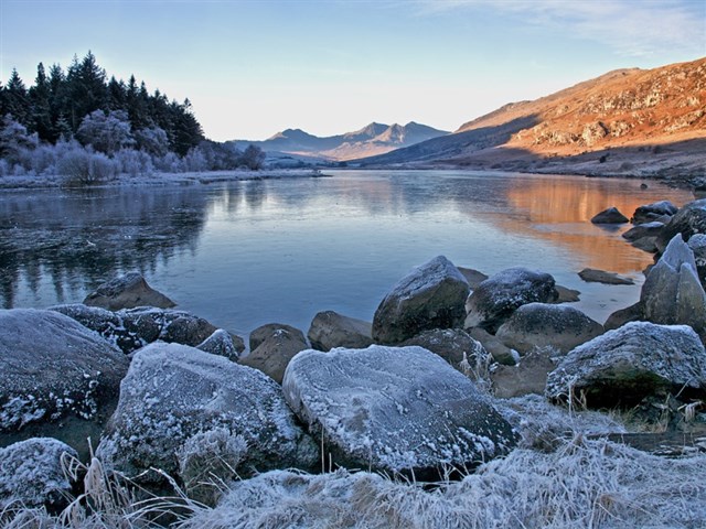 A crisp winter's day
-
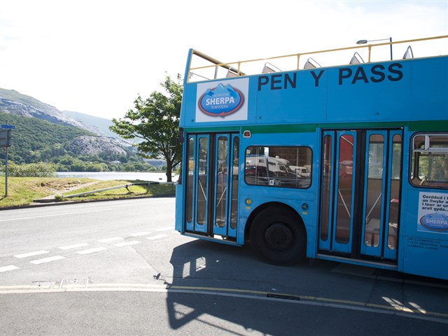 Sherpa buses - an idea way to get around
-
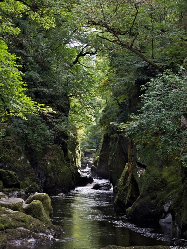 Fairy Glen, a local beauty spot